

CurrituckGov is the official X account of Currituck County, North Carolina government. Follow us for local news and events.
Currituck, North Carolina
Joined August 2010
- Tweets4.3K
- Following48
- Followers3K
- Likes87





Currituck Government retweeted

Here are the Key Messages for Hurricane Idalia for the Tuesday am advisory. #Idalia is expected to intensify into an extremely dangerous major hurricane before landfall along the west coast or Big Bend region of Florida. More: hurricanes.gov

Currituck Government retweeted
Here are your Monday am Key Messages for Tropical Storm Idalia. The system is forecast to become a dangerous major hurricane over the NE Gulf of Mexico by early Wednesday. Hurricane warnings could be issued for portions of Florida later today. More: hurricanes.gov

Currituck Government retweeted

February 2023 will be the last month for FNS emergency allotments (also called maximum allotments), the extra monthly benefits FNS participants have received throughout the pandemic. Learn more: covid19.ncdhhs.gov/informati…

Currituck Government retweeted
We'll have a little bit of weather from each season today across the Mid-Atlantic region. A strong cold front will cross the region today, bringing brief heavy rainfall, strong gusty winds, and some light snow to the area. Details now: weather.gov/AKQ


Currituck Government retweeted
A tornado watch has been issued for parts of North Carolina, South Carolina and Virginia until 1 PM EST – at North Carolina, USA

ALT This graphic displays Tornado Watch watch number 44 plotted on a map. The watch is in effect until 1:00 PM EST. The watch includes parts of North Carolina, South Carolina and Virginia. The threats associated with this watch are a couple tornadoes possible, isolated hail up to quarter size possible and scattered gusts up to 75 mph likely. There are 3,378,183 people in the watch along with 894 schools and 68 hospitals.
Currituck Government retweeted
A strong cold front crosses the area tomorrow. Strong gusty winds, a few strong storms, and dangerous marine conditions are all expected. We'll also see some sharply colder temperatures with rain to end as some light snow Sat. afternoon. Weather.gov/AKQ #vawx #ncwx #mdwx

Currituck Government retweeted
Good morning! Feeling like winter today with much cooler temperatures and raindrops/snowflakes in the air. Not anticipating any significant snow accumulation, but could see some snow covering grassy/non-paved surfaces, especially northwest (Louisa/Fluvanna counties).


Currituck Government retweeted
Coastal Storm is expected to bring heavy snow to portions of the area, mainly along and east of I-95. Snow is expected to begin Friday evening and continue into Saturday afternoon. High winds along the coast could result in blowing and drifting snow.
#VAwx #NCwx #MDwx #snow

Currituck Government retweeted
Still keeping a very close on the POTENTIAL for another winter storm Friday evening into Saturday. Still plenty of details to iron out at this point, but we are starting to hone in on areas east of Interstate 95 for the highest snow potential.

Currituck Government retweeted

Currituck/Knotts Island is suspending runs 1/22/2022, due to low water after the high winds of the past few days. For more info call 252-621-6300

Currituck Government retweeted

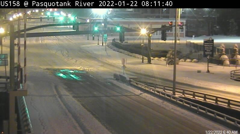
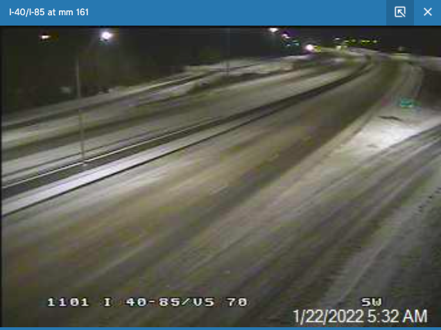
Things you SHOULD be doing in NE NC today: 1) Taking pics of snow in your neighborhood 2) Building snowpeople 3) Making SNOW CREAM! Things you should NOT be doing in NE NC today: Driving. Our crews are out now treating primary roads, so stay home and let them do their work!





Currituck Government retweeted
Currituck Government retweeted

Currituck County’s history is more than beach homes and recreation, writes historian Eric Medlin. "It is a county of agriculture, political leadership, and stories of intriguing people who lived on both sides of Currituck Sound." coastalreview.org/2022/01/cu…
Currituck Government retweeted
Currituck/Knotts Island will be cancelling the 11am and Noon trips today, 1/21/22, due to excessive winds.
For more info call 252-621-6300
Currituck Government retweeted
Currituck/Knotts Island will be cancelling the 9am and 10am trips this morning, 1/21/22, due to excessive winds.
For more info call 252-621-6300

