I ❤️weather! CBS Duluth, MN 1976-80, KGNS Laredo, TX 1980-now. NWS/NCEI coop site 1985-2023. NOAA Thomas Jefferson Award. AMS CBM#18. Key to the City of Laredo.
Laredo, Texas
Joined February 2010
- Tweets48.7K
- Following52
- Followers4.4K
- Likes9.7K
Friday 4:08 pm: A good consensus on arrival of a cool airmass Sunday pm with showers beginning to exit the area by evening. By Thanksgiving evening, quite a variety of solutions, main agreement is that a cool airmass will be in control. Most members show no rain. Stay tuned!


1
52
Friday 2:07 pm: Big Picture Weathermap: A partly to mostly cloudy afternoon with upper 70’s, low 80’s Saturday. Cold front from the Rockies will arrive Sunday afternoon, chance of scattered showers during the afternoon as the front passes through.

1
77


Click to read for more for good context to this exceptional event...

A truly catastrophic heavy rainfall event is ongoing across much of central Florida’s east coast, which will easily be the worst flooding event on record for the St. Johns River.
This event is exacerbated by the nuance of the St. Johns River — persistent easterly flow is not easily allowing water to drain. Not only will this event be the flood event of record, but the river will remain above record flood stage for a LONG time. Infrastructure that is underwater now will remain so for days on end.
The river at Cocoa is already in record flood stage and a staggering amount of rainfall is in the forecast tonight and tomorrow. WPC has issued two consecutive High Risks for excessive rainfall today and tomorrow, further elevating the St. Johns River to levels that have not been recorded. Areas that have never flooded will flood and remain flooded for an extended period of time.
The scale of this event is hard to comprehend.


4
238
Thursday 4:27 pm: Big Picture Weathermap: Warmer weather ahead of system from the Pacific through Saturday. Chance of showers as system moves by Sunday/Sunday night followed by long lasting batch of cool air that will flow south as system exits Sunday night.

1
137
Thursday 2:17 pm: Just Because Department: 90F warmth on east coast of Tunisia (average high this time of the year is high 60's. Palermo, Sicily (Italy) topped 80F (average high is mid 60's).

1
122
Thursday 11:28 am: Altocumulus clouds are usually thought of as mid level clouds, perhaps 10,000’ to 12,000’ in altitude. They can be much lower! Today’s example in Laredo are at 5,500’ altitude:


1
8
254


Thursday 8:30 am: A mild, mainly dry airmass is in control of our weather. A layer of moist air at ~4,000’ altitude has brought a cloud deck. The drier air above will stir in, morphing the cloud deck into scattered small cumulus with mid 70’s this afternoon.

4
131
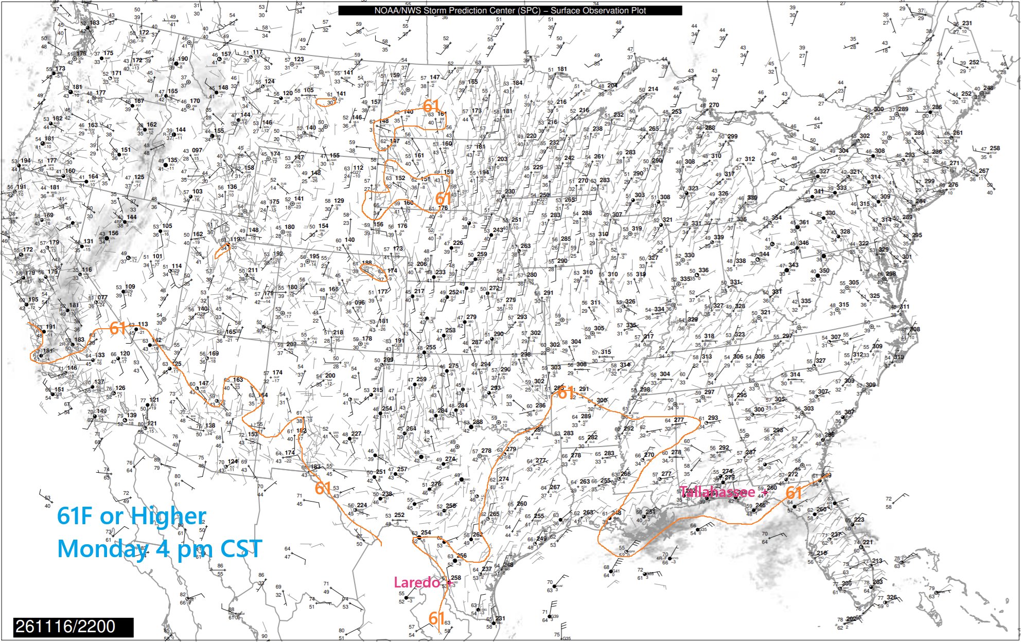
Wednesday 4 pm: Big Picture Weathermap: Dry air remains at the bottom of the atmosphere. A layer of moist air will arrive from the gulf at ~3,000' altitude by morning bringing a low cloud deck. A sprinkle is possible, but a mainly cloudy mild day, mid 70's Thursday pm.

1
151
The dry airmass in the eastern U.S. extends all the way southwest in Texas, bringing mild dry weather with low 70’s today. Milky white cirrus clouds flowing high above.


4
165
Tuesday 4:38 pm: Big Picture Weathermap: We will be rather cool tonight, low 50's. The southwestern edge of the large cool dry airmass centered over the eastern U.S. will control our weather Wednesday. Plenty of cirrus will flow high above, dimming the sun at times. Low 70's pm.

1
2
186

Tuesday 8:50 am: We are on the southwestern edge of a cool dry airmass. Dry air is expanding west, clearing our skies. A bright sunny day, not as cool, ~70F this afternoon.


1
165
Monday 9:47 pm: Just Because Department: While mild, slightly above freezing air has reached east of the Urals, eastern Siberia is quite cold. Iema is -49F.

1
1
188