

Official Twitter account for the National Weather Service Denver/Boulder forecast office. Details: https://xitter.cf/t.co/A4aVgbxmgI
- Tweets48K
- Following231
- Followers148K
- Likes10.2K





ALT Highs will be cooler today: Mountains and Valleys: 30-55F Foothills: 42-52F Denver Area: 52-55F Rest of Plains: 47-61F

ALT Overnight lows will generally be in the 40s across the lower elevations and foothills, 20s and 30s for the mountains and mountain valleys.

ALT This graphic displays a special weather statement plotted on a map. The statement is in effect until 8:00 PM MDT. The statement includes Karval CO. A STRONG THUNDERSTORM WILL IMPACT SOUTHEASTERN LINCOLN COUNTY UNTIL 8 PM MDT. The threats associated with this storm are wind gusts up to 50 MPH and penny sized hail. Seek shelter in a sturdy structure until the storm passes.

ALT Above normal high temperatures are expected again today: Plains: 70s & 80s Foothills: 60s & 70s Mountains: 40s & 50s, with 30s at the highest elevations Mountain Valleys: 50s & 60s

ALT 3 day forecast outlook and weather icons for Friday, Saturday and Sunday.

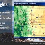
ALT Graphic shows highs today with 70's over the plains with 50 to 65 over the higher terrain.

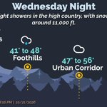
ALT Summary of overnight conditions for various geographic areas. Wednesday night temperatures will range between 29 and 41 degrees in the mountains, 41 to 48 degrees in the foothills, 47 to 56 degrees in the urban corridor, and 47 to 54 degrees in the plains.

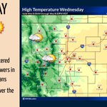
ALT Graphic shows highs in the 70's across the plains with mainly 50's and 60's elsewhere today.

ALT High temperatures in the mid to upper 70s Wed through Fri. Upper 50s for Sat and Sun. Partly cloudy skies for Wed, Fri, and Sat. Mostly cloudy for Thurs.

ALT Graphic shows low temperatures and sky coverage for tonight. 20s to low 40s for the high country and 40s for the plains.

ALT Mostly sunny skies with mild temperatures expected through Wednesday.

ALT Overnight low temperatures tonight - Plains and urban corridor: 36-44 Mountains and valleys: 25-37 Monday's high temperatures- Plains and urban corridor: 60s Mountains and valleys: 39-62

ALT Today's forecast highs: 74 in Denver, Fort Collins, and Julesburg, 61 in Estes Park and Granby.

ALT Overnight low temperatures- Mountains: 18-38 Foothills: 30-48 Plains: 31-47

ALT Today's high temperature forecast is: 75 in Boulder and Fort Collins, 77 in Denver, 76 in Sterling, 62 in Granby, and 65 in Estes Park

ALT Graphic shows a plot of temperatures as of 6 am. Readings mostly in the upper 20s and lower 30s over the plains (some mid 30s along the I-25 Corridor), and teens and 20s in the mountains and high valleys.

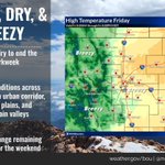
ALT Forecast highs across the plains will be in the 50s today and the 70s this weekend. Highs across the mountains will be in the 40s today and in the 60s this weekend.

ALT Snow covered mountain peaks from the FAA camera at Copper Mountain, looking south.
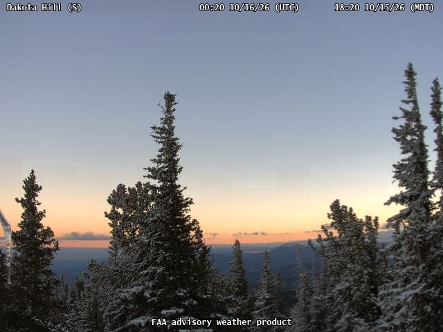
ALT Snow covered evergreen trees looking south from the Dakota Hill FAA camera

ALT Snow covered high peaks from the Kawuneeche Valley cameras at Rocky Mountain National Park

ALT Snow covered mountain peaks and sun obscured by clouds looking west from the Berthoud Pass FAA camera

ALT Graphic showing the locations for the Frost Advisory and Freeze Warning. All of the northeast CO plains is under a freeze warning tonight through 9am Friday.

ALT Map of forecast lows tonight showing much of our forecast area below freezing.