
Official X account for the National Weather Service Lower Mississippi River Forecast Center. Details: https://teapawt.net/t.co/fPvQCzMWra
- Tweets22.8K
- Following113
- Followers7.2K
- Likes40




ALT 5-Day River Flood Outlook for the Holiday Weekend


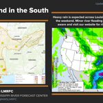
ALT Rainfall over the weekend led to minor to moderate flooding in South LA and MS.


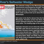
ALT The saltwater wedge on the Mississippi River is a natural phenomenon exacerbated by drought. The intrusion is possible because much of the Mississippi River's channel in South Louisiana is below sea level. The riverbed, or thalweg, is actually below the Gulf's water surface level up to near Natchez, Mississippi.

ALT Flood crest travel time on the Mississippi River is dependent on highly variable factors such as the current volume of water, recent rainfall across the massive basin, and the specific river stage at various points along the river. The NWS and the U.S. Army Corps of Engineers use real-time monitoring and forecasting systems to track how a crest travels downstream. You can monitor this progress using the NWS’s National Water Prediction Service for current river stages, flood forecasts, and warnings.


ALT Widespread much-below normal streamflow levels continue over nearly the entire Lower Mississippi Valley region.

ALT Lack of rain leads to severe drought conditions


ALT Know the difference before the weather begins!

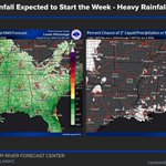
ALT Weekend Rain Gives Way to Drier Conditions for the Week Ahead.


ALT CoCoRaHS Rain Gauge Rally 2026 kicks off on April 1st! Let's get some new observers!

ALT Be prepared for cold water. Even if it feels warm outside, rivers, lakes, and streams can still be cold and running fast. Always wear your life vest and consider cold water protection gear. Cold water can kill.


