

Geospatial Developer @N_landCouncil Trombonist | @SSAGO_UK | @SAGGA_UK | @NorthlandScouts. All views my own.
- Tweets156
- Following329
- Followers147
- Likes563


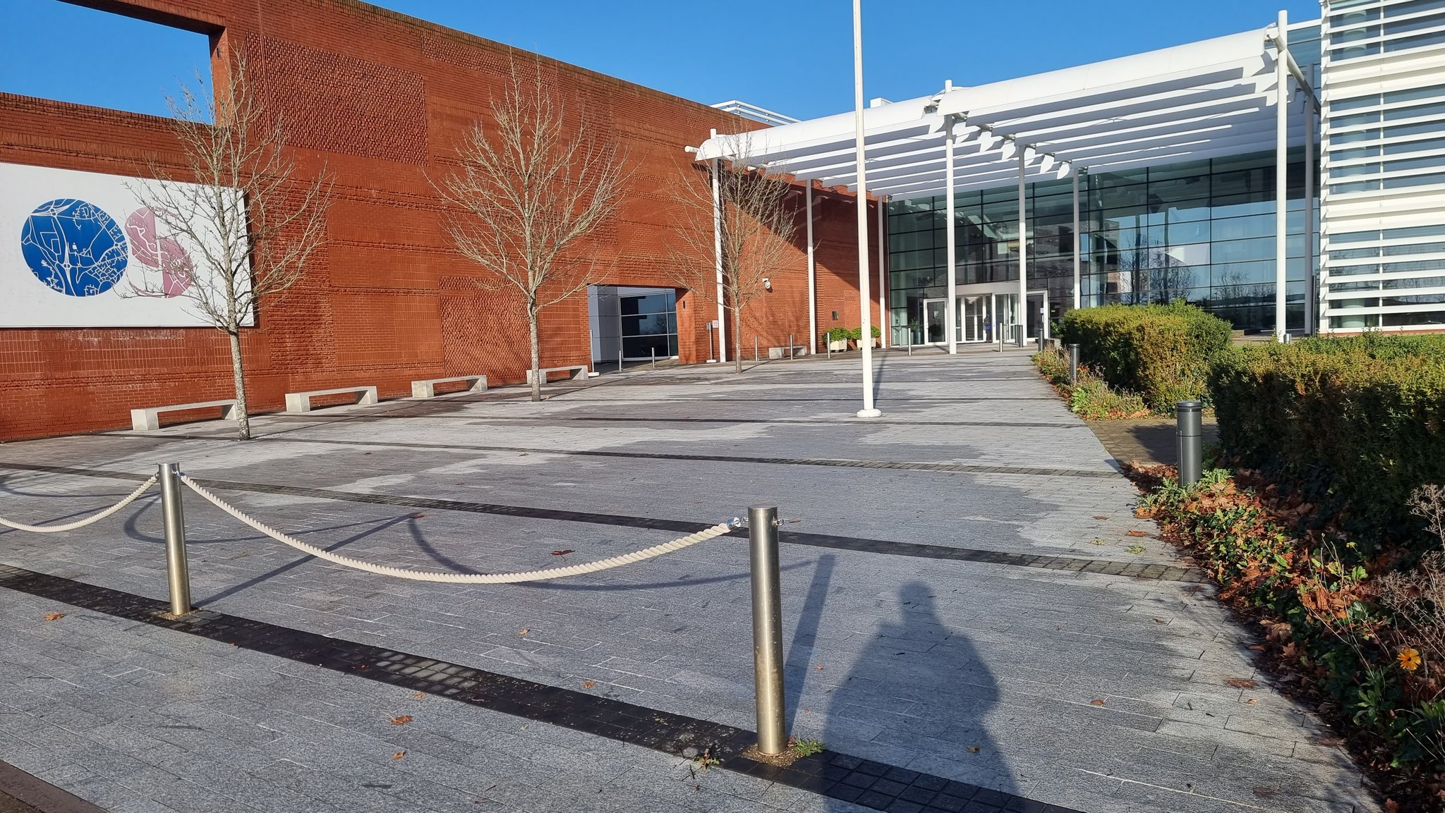
ALT Exterior of Ordnance Survey HQ

ALT A bad map, zoomed out to see the full earth, with a "1 earth circumfrance" scale bar, a "[title]" placeholder and a massive north arrow. Bad spelling, layout and rending throughout too. Credits in the bottom corner to OpenStreetMap contributors.

ALT Choropleth map of Bus Stops Per Ward in York, ranging from 4 to 71.

ALT Map of the UK Road Network Numbering system. In England and Wales the road numbers system for all-purpose (non-motorway) roads is based on a radial pattern centred on London. In Scotland the same scheme is centred on Edinburgh. Since Motorways first came to Britain over three decades after the A-road numbering system was implemented it uses its own similar, but different, system.

ALT Map of Emergency Points on the River Ouse, York. The River Ouse Safety Advisory Group (ROSAG) has developed an emergency response plan for the River Ouse within the City of York area with identifies locations on both banks, agreed by the emergency services as suitable for them to access in order to assist river users in difficulty. The different types of points allow the emergency service to know the potential for different levels of response.

