

Northeast Tennessee coverage on short and long range weather, 7-Day forecasts for the Tri-Cities, model discussion, etc. Snow is the best kind of weather.
Joined December 2020
- Tweets28.9K
- Following932
- Followers4.8K
- Likes20.7K





StormTrackerSacher retweeted

Projected snow or ice amounts can’t tell the whole story. The Winter Storm Severity Index shows how the winter weather will actually impact your area. The probabilistic version goes even further, showing best and worst case scenarios and the likelihood of each impact level. ❄️🧊

ALT weather.gov/wssi-p
StormTrackerSacher retweeted

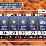
Delightful (adj.): Highly pleasing.
The weather this weekend will be absolutely delightful!
Expect clear skies, with highs in the upper 60s to low/mid 70s, and lows in the upper 30s to 40s. Enjoy! See less

StormTrackerSacher retweeted

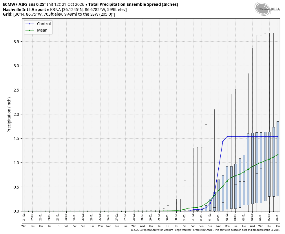
Solid signal across models for rainfall chances to return, perhaps around Halloween but definitely into the first few days of November in Middle Tennessee. Maybe a few severe weather chances as well has our jet begins to amplify.
But enjoy the calm quiet nice weather while it lasts, El Nino late fall/winters are busy, and its just about that time of year again.



StormTrackerSacher retweeted

Elk River Falls this afternoon. @ExploreFall
StormTrackerSacher retweeted

I’m years late but I took these today this is damage from hurricane Helene up on the Scott county side of high knob, miles worth of these downed tree swaths with root balls definitely intense winds came through
@NWSMorristown @TrackerSacker @netnwx @coolkid_028 @ConnerBoyd_WX


StormTrackerSacher retweeted

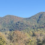
Maggie Valley, NC showing off with the sun hitting those peak fall colors this afternoon! Gorgeous!

StormTrackerSacher retweeted

Ah! Tis' the season! The latest update is showing moderate color now showing up in some of the Tri-Cities. Our peak is usually the latter part of the month. Are you guys seeing fall color where you live?


StormTrackerSacher retweeted

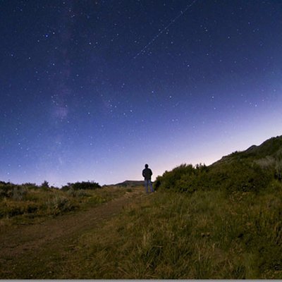
Daily Fall Color Report | Oct. 18, 2026:
A view of the Blue Ridge Parkway near Rough Ridge, where fall colors line the curves of the roadway.
We want to see your fall moments at Grandfather! Share them with us at grandfather.com/fall.
📸: Leslie Restivo


StormTrackerSacher retweeted

Lots of frost around this morning!
It was the coldest morning at TRI since mid-May.

StormTrackerSacher retweeted
Hope you're ready for a chilly one tonight! We haven't seen lows of this value since April or May (depending on location). Frost is very likely for parts of the plateau, northeast Tennessee, southwest Virginia, and the Southern Appalachians.

StormTrackerSacher retweeted

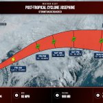
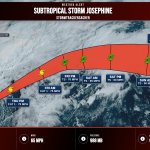
NHC added a 20% probability of a subtropical cyclone over this coming week from a low pressure off the East Coast.
Some of you might wonder why this cyclone *is* being given a probability development, while the nor'easter last month was not.
So, a thread to explain why: 🧵


StormTrackerSacher retweeted

It snowed back home on the mountain last night and early this morning…
(Video isn’t my own, credit to the feller who filmed it.)
StormTrackerSacher retweeted
The first snow of autumn has arrived on Mount LeConte in the Smokies!
Low temp of 27° with windchills in the teens this morning. ❄️ 🥶
This is at elevation 6,360 feet (photos from LeConte Lodge).


StormTrackerSacher retweeted
Call me crazy, but looks like it's SNOWING in Boone, NC this morning! ❄️🍁
StormTrackerSacher retweeted

❄️ ON THIS DATE, 17 YEARS AGO: An early-season northwest flow snow event brought up to 2 inches of snow to the NC mountains along the Tennessee border, mainly at elevations above 4,000 feet!
#scwx #ncwx #gawx

ALT NWS Greenville-Spartanburg weather history graphic for October 17, 2009. An early-season northwest flow snow event brought up to 2 inches of snow to the North Carolina mountains along the Tennessee border, primarily at elevations above 4,000 feet. The background photograph shows mountain ridges with a light dusting of snow on the highest peaks, while lower elevations remain green with some early fall foliage.
