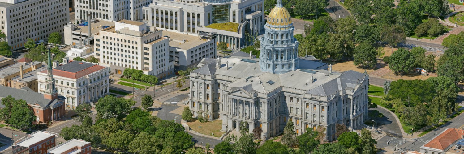
Aerometrex is a geospatial tech company with a focus on providing data-driven insights for a range of business applications globally.
Joined November 2011
- Tweets1.3K
- Following412
- Followers1K
- Likes219
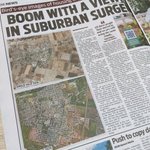




A lot can happen in a decade! Great story in The Advertiser today by Matilda McDermott and Riley Kirley, featuring an aerial view of Adelaide's changing suburbs - powered by MetroMap's historical imagery.
Read The Advertiser article: shorturl.at/nUxel


This is our 3D model of the San Francisco Ferry Building, brought to life in Unreal Engine. High-quality 3D data can be a powerful way to visualise a city, a site, or a future project.
Speak to our experienced team to find out more: aerometrex.com/contact/
Aerometrex delivered growth across every arm of the business, including 3D, LiDAR, and our subscription platform, MetroMap.
Hear more from our Managing Director & CEO, Rob Veitch, on what drove this record year, and what's to come for FY27: youtube.com/watch?v=Di7QFWps…
“This year was a very strong result for the company and a landmark year for MetroMap. We made improvements across all aspects of the business and drove significant growth while also reducing our cost base through disciplined execution.
- Rob Veitch, Managing Director & CEO


This is The Bend Motorsport Park, SA: 9 sq km captured as a high-res 3D reality mesh by Aerometrex. With real height & depth, it’s built for digital twins, consultation & planning. Available in the 3D Store as a full capture or in sections.
Explore: metromap.com.au/plans/3d-she…
Know a roof's orientation before you quote. MetroMap lets solar installers run shade analysis, check orientation, and spot obstructions from their desk—no site visit needed. Integrates with leading solar quoting platforms across Australia.
Free trial: metromap.com.au/
Turn aerial imagery into property intelligence. MM Insights map layers like buildings, solar panels, pools, and vegetation across Australia. Target markets with precision, track compliance, and view historical changes all from your browser.
Trial: metromap.com.au/trial/

See how locations change over time with MetroMap’s high-res historical imagery. Use the swipe tool to compare dates side-by-side, spot variations, and track site evolution, all from your browser. Get the full picture for your next project.
Start a trial: metromap.com.au/trial/

Scope jobs perfectly before your first site visit. Measure every border & metre from your desk, check roof heights, and plan access early.
Result? Better quotes, fewer surprises, and happier clients.
Start your free trial: metromap.com.au/
Trades can rule a site in or out before the ute leaves the yard.
Check access, heights & side corridors. Measure clearance & view the block from 4 angles via oblique imagery.
One less site visit. Tighter quotes. Zero install day surprises.
Try free: metromap.com.au/
Bare ground and new growth look identical from above—until you check the infrared.
For revegetation compliance, MetroMap's near-infrared imagery proves where healthy cover is actually taking hold versus weeds. Track progress with data.
Free trial: metromap.com.au/

One click. All the building area, floor area, elevation & footprint data you need. Even existing solar is plain to see.
Roofers, solar installers, & estimators: this is your site visit done from your desk. No ladders, no tape.
Get instant property data: metromap.com.au/

Stop manual counting. With feature detection, our platform instantly identifies solar panels, pools, and tree canopy from your latest imagery.
Save hours of desktop work for solar scoping, compliance, or risk assessment.
Get a clear read today: metromap.com.au/
Know what's on the ground before you plan.
Get a real site read from your desk: terrain, surface detail, and accurate heights on trees/buildings. Elevation profiles give you the lay of the land at a glance. Built for development & trade.
Free trial: metromap.com.au/
Stream MetroMap's latest high-res captures straight into ArcGIS. New imagery flows through automatically, no exporting, switching, or chasing files. The freshest view of the ground, right where your work happens.
metromap.com.au/products/2d/…

Draw, measure, and share, without leaving your desk.
MetroMap's tools let you calculate areas, mark up sites & export straight from imagery. Skip the site visit; do it in minutes on your laptop.
See it 👇
metromap.com.au/
#MappingTools #MetroMap #RemoteWorkTools
SEE COASTAL CHANGE IN 3D 🌊
Proud our data supported 3 PIA 2026 Award-winning projects! Our 3D reality mesh (2cm imagery, 5cm accuracy) tracks shifting coasts, cliff cracks & storm impacts with fewer people on the ground.
#Aerometrex #3D #CoastalManagement #Geospatial
Some days flying is the easy part. Readiness is the work. Waiting weeks for a clear window to capture high-res MetroMap LiDAR and imagery means always watching the clouds. To the crews at the airstrip this morning, we see you.
metromap.com.au/
#Aerometrex #LiDAR


Where's the property boundary? |
See exactly where one ends and the next begins. MetroMap layers Cadastre and Geoscape data over imagery so you can check boundaries, measure distances, and price the job right from your desk.
See how: metromap.com.au/
#PropTech #Cadastre
🏗️ Imagery shows a lot. Depth shows the rest. LiDAR & 3D data reveal the terrain, elevation & volumes flat images miss, cutting site guesswork.
Latest in Build Australia 👇
buildaustralia.com.au/busine…
#LiDAR #Construction
