
Senior Solution Architect @esrischweiz Tweet about geospatial technologies and stuff
Suisse
Joined June 2009
- Tweets1.9K
- Following1.7K
- Followers477
- Likes3.7K







wt actual f
sshhole.com/
"so openssh on musl linux (alpine, openwrt, buildroot, yocto, and a lot of the docker images you've pulled) has had a little problem since 2016.
accounts that should never take a password at all (root, your key-only deploy user, ldap users, the default user on alpine's aws and azure images) take any password longer than 256 characters."
Cédric Despierre Corporon 🌍 retweeted

*Slaps Roof of WoW: Forever*
This baby is running on:
3,924 Virtual Machines
251,136 GB of Memory
70,480 CPU Cores

Built weeks ago some volumetric clouds in an Esri ArcGIS 3D webscene with a custom WebGL RenderNode. Forgot the shadows and a link. Fixed 😅 Looks cool, though I'm still not sure hiding the map behind clouds counts as a useful GIS feature lol.
ceddc.ch/3dweather/
#GIS #WebGL

New build-something-with-AI day: 3D volumetric clouds (ray marching) in any ArcGIS Maps SDK for Javascript 3D webscene, via a custom WebGL RenderNode.
I wanted to see if my plane web app could have cool clouds like in Unreal Engine. I just knew a tiny bit about the topic, pointed the AI to the right docs, then wished it into existence over a few hours... The most fun way to learn something, IMHO.
Made with @EsriDevs tech and OpenAI GPT-6 + Claude Opus 5.5 for the video
Yesterday I naively asked Codex how complex would it be to add a night mode? Now I'm racing through Zurich at night and asking it to explain about emissive shaders, depth buffers and render passes lol. Having my little ArcGIS 3d kart game to experiment with is teaching me a lot 😅
Ok I understand now why I achieved so much important/cool stuff this week with codex on my free time.
Thanks for the resets @thsottiaux !

Is it still GIS if I'm turning an Esri 3D web scene into a karting mini game?
Today's ChatGPT reset + a banked one = 🔥new computed 3D assets, WebGL parallax shaders and a track in Paris. 60 fps with JS in a browser, my globie game is getting less mini lol
Really liking the potential of shaders in Web 3D! Facade textures and parallax can make even simplified buildings look convincing, without extra geometry. And the best part is the possibility to integrate this into my ArcGIS Maps SDK for JavaScript webscenes.
Cédric Despierre Corporon 🌍 retweeted

Jensen spent 10 min of his keynote asking microducks to sit, then explained Nvidia's roadmap to them 🥹
Cédric Despierre Corporon 🌍 retweeted

I won the September $20,000 Gold Medal award in the Vesuvius Challenge Progress Prize for my work on automatically detecting and tracing papyrus fibers in 3D CT scans ! 🥇🏛️
I could never have made sense of the scale and complexity of the available data so quickly without frontier models like Astra.
Unwrapping ancient scrolls is about as “out of distribution” as it gets. So much still has to be figured out or invented, AI helps us explore unfamiliar territory, turn ideas into working experiments, and accomplish things that would have felt out of reach just a few years ago.
A huge thank you to the Vesuvius Challenge community for all the incredible work they've done, and for the help and support along the way!
I created a website where you can see pretty cool pictures the community shared on discord:
the-art-of-vesuvius-challeng…

Cédric Despierre Corporon 🌍 retweeted

🗺️ Rupture de stock sur certaines cartes régionales au SIG 2026 ? On a pensé à vous !
Si la carte de votre région n'était plus disponible sur notre boutique pendant l'événement, bonne nouvelle : toute la collection est désormais accessible en téléchargement sur la Géo Communauté, en version haute définition.
Que ce soit pour retrouver votre territoire, l'imprimer ou l'utiliser dans vos travaux cartographiques, les cartes sont à votre disposition dès maintenant.
👉 Téléchargez gratuitement les cartes des régions françaises sur la Géo Communauté.
🔗 eu1.hubs.ly/H0zcWDW0
#Cartographie #SIG2026 #Geomatique #SIG #EsriFrance #GeoCommunaute #MapTheNews


Weekend optimizing for mobile also helped the desktop version get stable 60 fps. Still crazy claude and chatgpt can help you get this in a browser with javascript and webgl.

So I guess you can now go beyond "vibe coding" and start "vibe doing other important stuff".
I like that.
Saturday Claude reset time. Still 20% of token so I guess it's time to go ULTRA 🔥with Opus 5.5 and add a new place in my "Globie kart" app after Geneva and Munich. Made with the ArcGIS Maps SDK for JavaScript because why not. Will have to check how smoother it can be in Unreal
Unfortunately not around this year to chat about it at speedgeeking during the Esri European Developer & Technology Summit in Frankfurt, have fun there and see you next time !


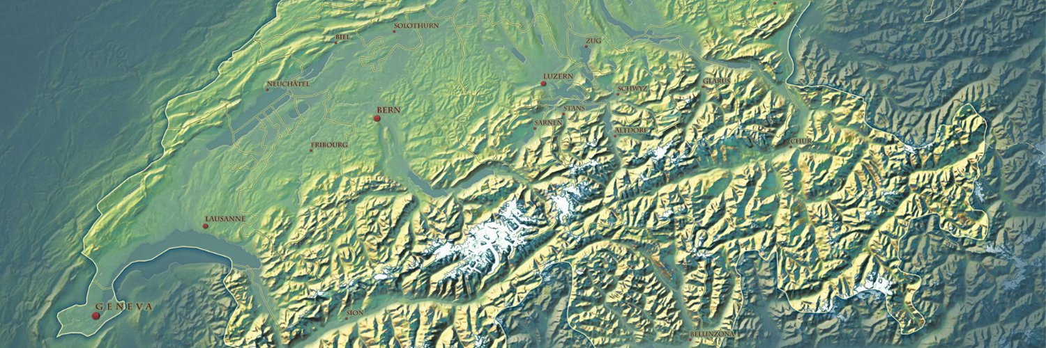
Shadow twitter early drop: elevation atlas, a 3d map of the earth with no imagery, no roads, just heights + math in the browser
Colors, hill shade and contour lines are painted per pixel from the elevation tiles. labels are custom callouts streaming 1.6M osm names from geoparquet, click one to fly in
opus 5.5 + gpt sol 6.1 + a lot of prompts
Built with @Esri elevation service and the ArcGIS Maps SDK for JavaScript #gischat
link: ceddc.ch/elevationatlas
works on phone too, best on a big screen.
