

Cartographer using Esri products. Mapping the world as I travel thru it.
Houston, TX
Joined November 2008
- Tweets12.1K
- Following1.1K
- Followers306
- Likes1.2K



#30DayMapChallenge day 12 - "Time and Space" Time enabled Satellites by launch date in Space. LEO, MEO and GEO orbits. SpaceX Starlink is the pink orbits.
5
299
robert graham retweeted

The #30DayMapChallenge is back on Nov 1! 🎉
Over 50,000 maps have been created in this challenge so far, and I can’t wait to see what everyone comes up with this year.
Check out the prompts and more details at 30DayMapChallenge.com

robert graham retweeted

#30DayMapChallenge Day 12 — Time and Space 🌌
Today’s highlight is the NYC Subwaysheds map from Mapboxer Chris Whong! See how far you can travel from each subway station across New York City, exploring the intersection of time and space in urban transit.
Explore NYC Subwaysheds: subwaysheds.com/#10.32/40.70…
#BuiltWithMapbox #TimeAndSpace


Day 4 of the hashtag#30DayMapChallenge is Hexagons. Honeycombs are hexagonal! Here is a map of honey production for 2022 dissolved by 25 km hexbins to be more hexagonal. The Data is from USDA by county.
Hexagons are the Bestagons - CGP Grey
1
8
134
Day 3 of the hashtag#30DayMapChallenge - Polygon.
I updated the 2023 polygon with exploding gifs for each nuclear test recorded at the Semipalatinsk Test Site (lnkd.in/gz-Dw_zA
) a.k.a. The Polygon. Thanks to damian for publishing Worldwide Nuclear Detonations on AGOL.
The 30 Day Map Challenge day second day theme is Lines. For each day of November I will share a map based on a prescribed theme for the #30DayMapChallenge.
Lines of METRO bus routes for Harris County.
The 30 Day Map Challenge has begun. I will share a map each day for the month of November. The 1st map is for Points. I chose polling places for Harris County Texas, USA.
The source data comes from Harris Votes site.
#30DayMapChallenge
3
2,883
robert graham retweeted

This video is incredible.
Everyone should RETWEET it so the whole *world* sees it.
Your chance for feedback on the Storms that cause power outages across Houston area. Fill out the survey. They do not know your story. forms.office.com/pages/respo…
1
49


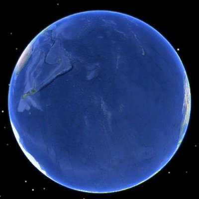

I enjoyed the hashtag#30daymapchallenge for 2023. I was able to complete 9 of the 30 maps. I wanted to add the temporal dimension since the medium was web based. I used mostly ArcGIS PRO animation but when that did not work I would use Camtasia or Powerpoint.
3
134
#30DayMapChallenge day 18 #Atmosphere data from EPA from 1 Jan 2023 to 18 Nov 2023. PM2.5 daily of Harris County Texas USA. #animation #arcgis #airIQ #flow
Day 17 of the #30DayMapChallenge - Flow. Thanks @XenonGT for inspiration. This animation is a screen grab of the H-GAC.com animated web maps.
Day 9 of the #30DayMapChallenge Hexagons. I use the GenerateTesselations GP tool on ArcGIS to fill Texas with 8000 hexagons 10 square miles each. Thene created an animation of different layer classifications by area.
4
121
day 7 of the #30DayMapChallenge Navigation.
this is a how to Navigate to Ninfa's on Navigation.
3
126
Day3 of #30DayMapChallenge. The Shrinking polygon border with multiple donut effects. The polygon is the METRO Service Area of Harris County Texas USA. Jersey Village is the hole in the donut.
6
231
My Points map for #30DayMapChallenge. Bus Stops in Houston get updated with GPS/GNSS receivers frequently. 2015 & 2016 were big years for collection
6
149