

Clinton, Utah
Joined October 2021
- Tweets10.8K
- Following313
- Followers281
- Likes84.6K




Pinned Tweet
A portion of used water making it to the #GreatSaltLake is better than no water making it to the lake because of water conservation.
Residential returns 50 to 90% of its used water.
Agriculture returns 30 to 50% of its used water.
Ground water buffering is a relative unknown quantity of #GreatSaltLake inflow hydrology.
Here is a quality article by Erin Brinkman and Hugh Hurlow.
From The Utah Geological Survey
geology.utah.gov/map-pub/sur…

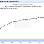
Tracking #GreatSaltLake elevation
New elevation 4190.0'
Up 0.4' on the season
Up 1.5' above November
2022's low elevation
Short 5.19' from its median elevation 4195.19'.


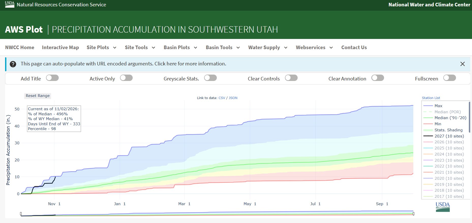
1st day of November and southwestern Utah is already ahead of its annual November precipitation average.
2.5", median is 1.9". 🥳🥳

Holy Smokes!
Southern Utah has received 40% of an annual precipitation this water year, barely a month in.
Some areas are well into record territory!
#Utah #utwx #utahweather #utahdrought


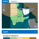
Stepping closer to reality for the Drought Monitor.
This will still leave some areas in extreme and severe drought which does not match the water balance data.

Holy Smokes!
Southern Utah has received 40% of an annual precipitation this water year, barely a month in.
Some areas are well into record territory!
#Utah #utwx #utahweather #utahdrought
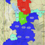
Great Salt Lake water basin is 207% of median.
The state of Utah has already received a quarter of an annual water supply.


Gunlock Falls are roaring this morning! Heavy rains in the area overnight have really made a difference here.
People I spoke with told me they haven’t seen it like this in years! @KUTV2News

GSL Sentinel retweeted

San Juan County flooding update for Nov 2, 2026. (5:30 am). Updates via Facebook
TOWN OF BLUFF:
Emergency alert! Cottonwood Wash is flooding. All Bluff residents: Shelter in place or move to higher ground immediately if safe. DO NOT drive or walk through floodwaters.
1/10
Navajo Reservoir above Powell, grew 4% so far from this storm. Currently 74% full.
44' of growth since its September Low, from 6,009' to 6053'


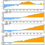
As much as 15" of snow fell on the mountains above GSL.
Image 1: current Snow Water Equivalent plot.
Image 2: SWE plot from 2 days ago.
Image 3: current precipitation plot
Image 4: current soil moisture plot


#LakePowell appears to be on the rise again after a brief Laul.
#GreatSaltLake also, but I don't trust the gauge when it has this much chatter in it.
Yesterday was a good day for #Utah water!


Water heading to Bluff, Utah then Lake Powell.

Oh boy. San Juan River in Pagosa Springs is already at a higher level than last month's flood, with a projected peak of 22.11 feet.
That's over *4 feet* higher than the highest crest on record (October 1911).
#COwx


The San Juan at Pagosa Springs plateaued at least briefly, short of 17 FT tonight. Could be a sign that it has crested. That would be some good news amongst mostly bad for that area. #COwx


GSL Sentinel retweeted

San Juan at Pagosa Springs flooding again, Farmington starting to pop. Be safe! Ive had 2.25” so far and only half way through this wave, stock pond is overflowing, 10” PVC drain couldn’t keep up. Got 0.75” in first wave two days ago so 3” total, probably 2” more coming today. That’s 4 months of normal precip in 2 days.


