







JC Fultz retweeted

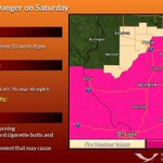
Increasing winds through the day, along with the continuation of drier conditions, will bring about lower relative humidity values this afternoon. This combination will elevate the fire danger around the region, with the highest concern west/northwest of the I-55 corridor.

JC Fultz retweeted
10:15 am -- Wind Advisory has been expanded south to include Springfield, Taylorville, and Decatur. #ILwx

JC Fultz retweeted

1:52pm CDT #SPC_Watch WW 555 SEVERE TSTM IL IN KY MO 061850Z - 070200Z, #ilwx #inwx #kywx #mowx, go.usa.gov/xyJTw

JC Fultz retweeted

The Anchorage International Airport has just reached 89 degrees. The all time record high temperature for #Anchorage has officially been broken. The previous record of 85 degrees was set on June 14, 1969 (period of record 1952-2019). #AKwx #RecordHeat
JC Fultz retweeted
New storms developing along an outflow boundary from the earlier storms to the north across Central Illinois. #ilwx

JC Fultz retweeted

Is there any doubt that #SmokeAlarms work? 18 hours after the fire at 307 Foxwell where 2 occupants successfully got out, the #SmokeAlarms are still sounding. @champaigncity #ISOClass1 #HereToServeYou.
JC Fultz retweeted

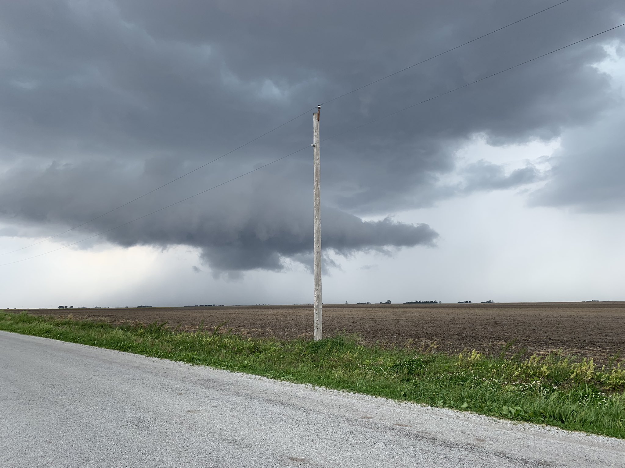
In Morrisonville looking SW towards raymond. A lot of cloud to ground lightning happening. @NWSLincolnIL @jcfultz @JoeCrain


JC Fultz retweeted
A severe thunderstorm watch has been issued for parts of Illinois and Indiana until 1 AM CDT




JC Fultz retweeted
Flash Flood Warning including Effingham IL, Altamont IL, Neoga IL until 9:30 AM CDT – at Illinois, USA

JC Fultz retweeted

Livingston County: A semi rollover is blocking all southbound lanes at milepost 213, near Dwight. Traffic is being diverted at exit 217. #ILtraffic
JC Fultz retweeted
Near record to record flooding on the IL River from Beardstown to Valley City. Expected rain the next two days are included in new forecasts. IL River levels will then remain nearly steady into early next week. #ILwx

