

Tracking weather in the Tri-Cities. We are the Tri Cities first warning when severe weather strikes. Partnered with @etnwxnetwork
- Tweets16.9K
- Following170
- Followers949
- Likes119
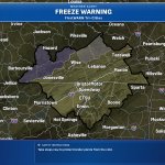


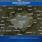
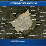


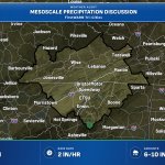


ALT Alt Text: Weather update graphic from NWS Morristown detailing flash flooding concerns. A radar map displays a band of heavy rain moving east-northeast across the Northern Valley. Text notes rainfall rates over 2 inches per hour, 3 to 5 inches already reported, and an additional 2 to 4 inches expected.


ALT This graphic displays a flash flood warning plotted on a map. The warning is in effect until 12:15 PM EDT. The warning includes Bean Station TN, Maynardville TN and Rutledge TN. This warning is for Southeastern Claiborne County in east Tennessee, Grainger County in east Tennessee, North Central Greene County in east Tennessee, Northern Hamblen County in east Tennessee, Southwestern Hawkins County in east Tennessee and Southeastern Union County in east Tennessee. Avoid walking or driving through flood waters! Move immediately to higher ground! There are 44,278 people in the warning along with 19 schools and 1 hospital.


