

This account is no longer active. For news about the data accessible through the ORNL DAAC, see @NASAEarthData
Oak Ridge National Laboratory, TN
Joined February 2010
- Tweets2.3K
- Following676
- Followers1.1K
- Likes644




On Thursday, June 4th, All ORNL DAAC systems will be offline for scheduled hardware maintenance from 7am-12pm EDT.
Keep up with the latest carbon dioxide concentrations for our atmosphere: buff.ly/2qbNReG Jan. 2020 reading was 413 ppm. @NASAClimate has graphs & #data to download! The #ORNLDAAC also offers a variety of carbon cycle datasets: buff.ly/2UmZttf

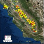
#ICYMI: The Vista-CA dataset from the North American Carbon Program
@NACP_Carbon provides locations of potential #methane (CH4) emitting facilities & infrastructure across the state of California. buff.ly/3aIP7eT Used to support the California Methane Survey project.


Plants are important to the global #carbon cycle! 🌲s absorb CO2 during photosynthesis, store C above/below ground, produce O2. The #ORNLDAAC has >700 data holdings on forest structure/cover/biogeochemistry. Find one that's applicable to your research: buff.ly/2GwHc8d

ORNL DAAC retweeted

Satellite Observations Aid Bison Management earthobservatory.nasa.gov/im… #NASA
#New dataset: Temporally consistent & harmonized global maps of above- & belowground biomass carbon density are available! buff.ly/2TBjxd8 #Data are for the year 2010 at a 300 m spatial resolution. The accumulated uncertainty of pixel-level estimates are also provided.

Christine Laney (@cmlaney), Isaac Larsen (buff.ly/2PZeZes), Alexey Shiklomanov (@ashiklom711), & Ying Sun (@gisgter2008) will join the ORNL DAAC User Working Group this year! Welcome, new members! #biogeochemistry #ecology #DataScience

ORNL DAAC retweeted
🌎🗓 T-43 days until #EarthDay50
From space, @NASA can track damage to roads and homes after hurricanes, helping first responders and communities direct aid where it's needed most.
go.nasa.gov/2v8GgUs
Get the catalog of point cloud #data collected during #LiDAR surveys over the #Amazon #rainforest in #Brazil from 2008-2018 for the Sustainable Landscapes Brazil Project. buff.ly/2wLM1rx Data made available by the Carbon Monitoring System @NASA_Carbon!

ORNL DAAC retweeted

Beautiful 🌏
On April 22, the world will celebrate the 50th anniversary of #EarthDay.
Follow @NASAEarth for its 50-day tribute, starting today, exploring how NASA’s Earth science, technology and space exploration are essential to the future of our planet.

🌎🗓 T-50 days until #EarthDay50
This year, we’re celebrating the 50th anniversary of #EarthDay. 🎉 Since the very beginning, @NASA has looked back to our home planet 🌎, helping solve environmental challenges and understand this beautiful, complex world.
go.nasa.gov/2uLE4SC

ALT Iconic Earthrise image of Earth rising over the limb of the Moon with the NASA Earth Day logo in the bottom left corner
We love #OpenData! "Open science can lead to greater collaboration, increased confidence in findings & goodwill between researchers." buff.ly/2SWoRI8 We assign all data products a DOI, making them easier to cite & discoverable. DOI Search: buff.ly/2J1KFvx

ORNL DAAC retweeted
Dr. Liz Hoy studies Earth’s Arctic ❄️ and boreal regions, looking at how fires 🔥 affect carbon storage in a warming climate. She travels to Alaska and Canada during the summer with the #NASA_ABoVE field campaign. #IWD2020
bit.ly/2ItnIRX
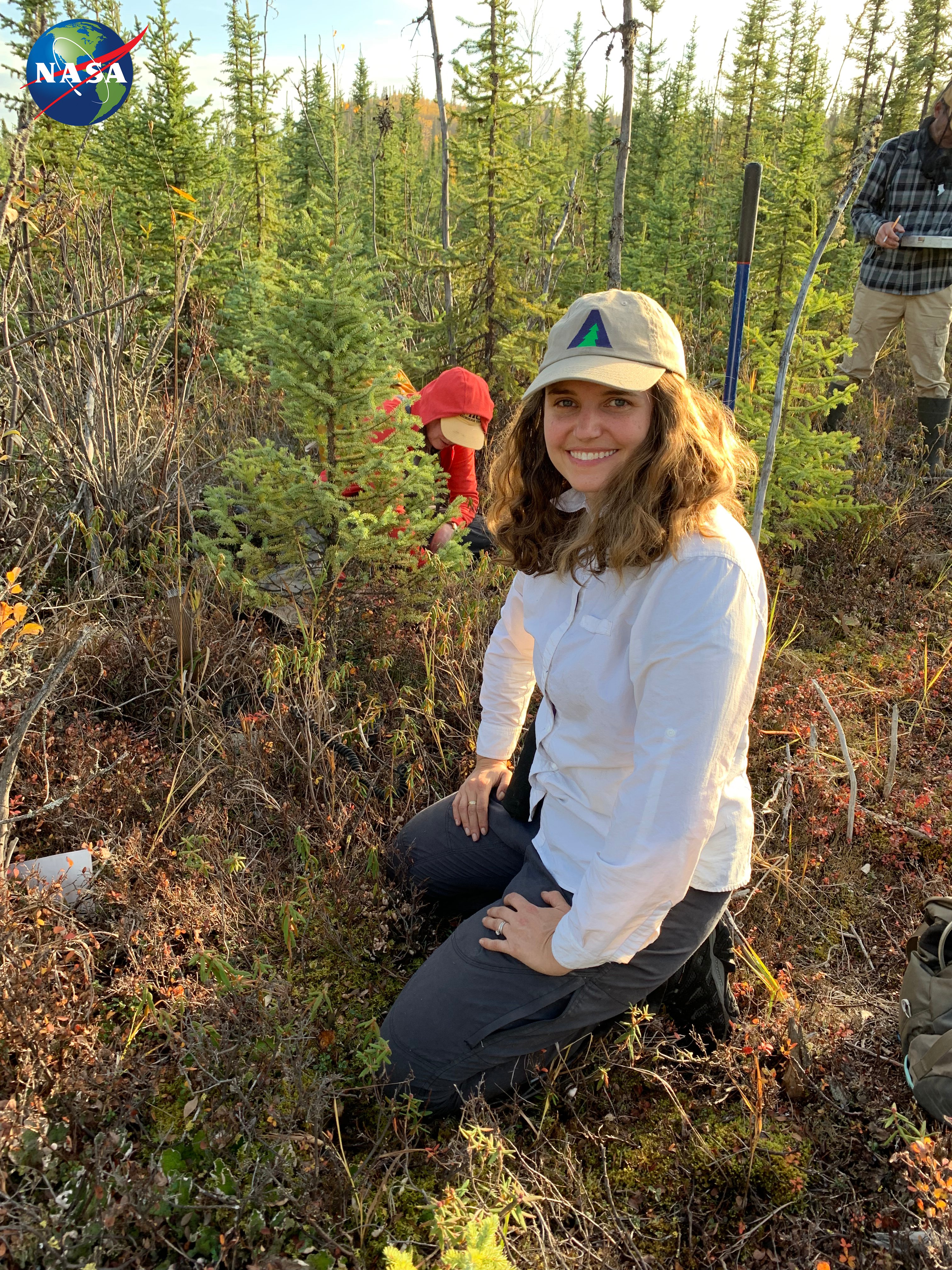
ALT Liz Hoy kneeling in a field of sphagnum wearing an ABoVE baseball cap
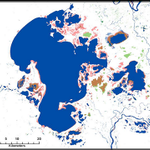
#ICYMI: @NASA_ABoVE dataset "ABoVE: Surface Water Extent, Boreal and Tundra Regions, North America, 1991-2011" buff.ly/2OT4N4h has been cited 4 times & downloaded >800 times! Data were derived from time series of #Landsat TM & ETM+

#DYK that there are other DAACs out there besides @ORNLDAAC? We all serve the @NASAEarth Observing System to ensure that #data collected during #science missions is easily accessible. Do you want to use our data? Find out more buff.ly/2RuNhFp and follow @NASAEarthData

Get these #data from Arctic-Boreal Vulnerability Experiment
@NASA_ABoVE: A time series of Landsat-derived maps shows the expansion of a thaw slump on the East Fork Chandalar River in #Alaska from 2008-2017. buff.ly/2VBWpN2

ORNL DAAC retweeted
You can help us choose our all-time best image. Post your suggestions here by March 17: earthobservatory.nasa.gov/bl… #NASA #NASAEO20 #EarthDay


Ever wondered, "what's the greenhouse effect?" See this simplified animation from @NASAClimate: buff.ly/31V12Cg Even download the animation for presentations! The #ORNLDAAC provides access to #climate buff.ly/2LI88Gr & #carbon cycle buff.ly/2UmZttf data.
