Rediscover the places that have shaped Britain and Ireland for centuries. By the Historic Counties Institute.
Britain & Ireland
Joined January 2020
- Tweets14K
- Following9.9K
- Followers17.4K
- Likes28.5K




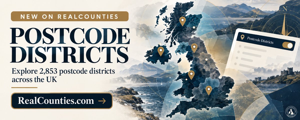
Explore 2,853 postcode districts across the UK with RealCounties’ new interactive map layer, featuring detailed geographical outlines and direct comparison with historic county boundaries.

Official census statistics have been available on our interactive map for a few weeks - now there is also a dedicated website explorer to complement it. 👇

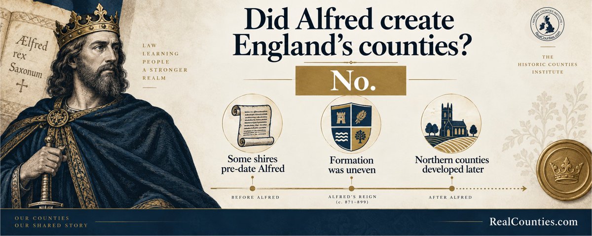
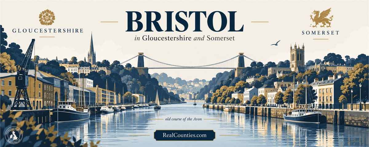

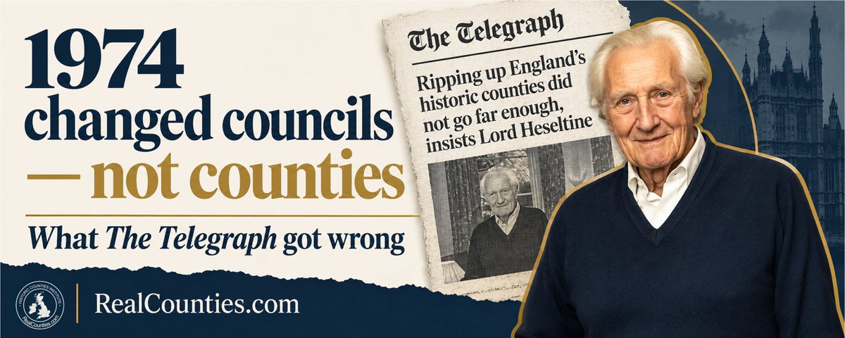
Did Michael Heseltine “rip up” England’s historic counties in 1974? What The @Telegraph got wrong 👇

NEW FEATURES on our interactive map!
As well as browsing the counties, you can search, compare councils & lieutenancies, view census data & even switch on the original 19th-century @OrdnanceSurvey First Edition mapping!
Find it at RealCounties.com View article