

Making a new kind of map. Modern, minimal, and stunningly detailed.
Burlington, Vermont
Joined February 2020
- Tweets53
- Following0
- Followers679
- Likes46


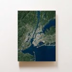


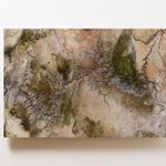

Ramble Maps retweeted

Psyched to release this print of Mount Rainier/Tahoma today on @ramblemaps
It is the culmination of everything we've learned these last couple of years making these images. Combining NAIP orthoimagery + LiDAR elevation data.
ramblemaps.com/mount-rainier…


Ramble Maps retweeted
Maui for @ramblemaps
Used 4 different satellite passes for this one to get a cloud-free view.

Ramble Maps retweeted
New post: If Google Earth Were Designed For Your Wall
(includes lots of pretty pictures of earth)
ramblemaps.com/if-google-ear…

Ramble Maps retweeted
Turning satellite imagery into wall art.
The Big Island of Hawaii for @ramblemaps

Ramble Maps retweeted
Mount St. Helens erupted 41 years ago today.
Here it is in high resolution LiDAR.

Ramble Maps retweeted

From our Winter Preview: Using lidar data, @ramblemaps are nine times more detailed than a typical USGS survey map — and they look cooler on your wall. 7dvt.co/2K0CovV
