





NOVAwx retweeted

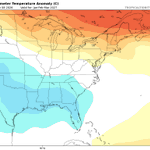
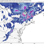
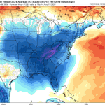
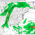
Watching for a potential coastal system this upcoming weekend. An area of upper-level vorticity is expected to develop off the coast of Florida before lifting north/northeast through the weekend. There is potential for a period of heavy rainfall, with the highest risk currently near and east of I-95, depending on the eventual track of the low. A cold front will then bring a shot of much colder air to start Thanksgiving week.
This is far from a slam dunk, as considerable spread remains within model guidance (as expected 6 days out). The faster the upper-level wave moves across the Great Lakes, the greater the likelihood that the coastal system gets pushed out to sea. I'll continue to monitor trends closely. As of now, AI guidance is favoring greater coastal to I-95 impacts, while traditional physics-based models generally favor a track farther offshore. #EcWx


One thing I have consistently seen on the seasonal models is above average snowfall anomalies across the southern Appalachians so who knows maybe this is the start to a snowy winter around here ❄️
2/2 🧵


5
115
Saw lots of photos and videos of snow in the Appalachians today! Any lingering NW flow snow showers will taper off later tonight
1/2 🧵
1
11
567
NOVAwx retweeted
Now... looking more long range:
(1) A warmup is expected with above average temperatures with a strong ridge for the end of the upcoming week. A southwest flow will lead to positive height anomalies over the eastern US.
(2) The pattern will likely change Thanksgiving week as a -EPO develops, pushing colder air south.
(3) A troughing signal develops over the southern US. We'll have to wait & see if this is able to interact with the cold air pushed southward from the Alaskan ridge.
(4) I'm watching for a 2 week opportunity (Nov 28-Dec 12) for a potential impactful snow event somewhere across the Great Lakes/Mid-Atlantic/Northeast US.
#EcWx


NOVAwx retweeted
Morning KaneCast ~ MD / VA / NJ
Showers are about to break out across the NOVA/MD region as an area of low pressure drives strong low-level convergence and rising motion. Model guidance is currently under-doing the rainfall activity pushing east, so expect a stronger push of showers than what is currently modeled.
Severe weather will be possible this afternoon/evening across much of NJ. Strong large-scale ascent and wind shear, despite relatively low CAPE, will work together to support a late-season severe threat.
Have a great Thursday! #MdWx


NOVAwx retweeted

Both European AIFS (left) and Google WeatherNEXTv3 (right) AI models showing nice Alaskan ridge spike late next week, which is expected to displace cold air southward ahead of the Thanksgiving holiday.
Lack of a corresponding +PNA pattern will likely muddle the pattern with some milder Pacific air. Means we still turn chilly, but the strongest cold tends no to penetrate as far to the southeast as when it links with a PNA ridge spike as well.
Active pattern, but (at least for the DC area) nothing about it is screaming snow threat to me at this time. But we are still talking about 2 weeks out. So we'll monitor how the pattern unfolds and monitor for detail changes.


Anything wintry in Nov and Dec would be a bonus in my books I still expect this to be a backloaded winter with the best window for a big snowstorm being around late Jan - early Feb
2/2 🧵
9
785

Next week's cold shot remains on track however the storm threat is looking quite messy
I do feel there is a solid shot the Appalachians could see the first widespread snow event of winter, but I highly doubt the lower elevations will get anything more than cold rain

12
756
CFS has been going through monthly cycles where it'll push the high SW torch America Jan, Feb and then trend back to Greenland creating colder conditions
Right now, it's doing the colder trend again I wouldn't read much into it yet
3
165
NOVAwx retweeted
Our first legitimate shot of some cold air looks to be gaining traction on model guidance for the Mid-Atlantic & Northeast. Cold looks to build in late next week for the following weekend (November 12-15th). Could be cold enough for some lake effect & high elevation upslope snows. Think this is the first punch before we get stronger punches late month into early Dec with the weaker polar vortex.
#EcWx

